
X, the Navigator: Between Lagos and Lisbon
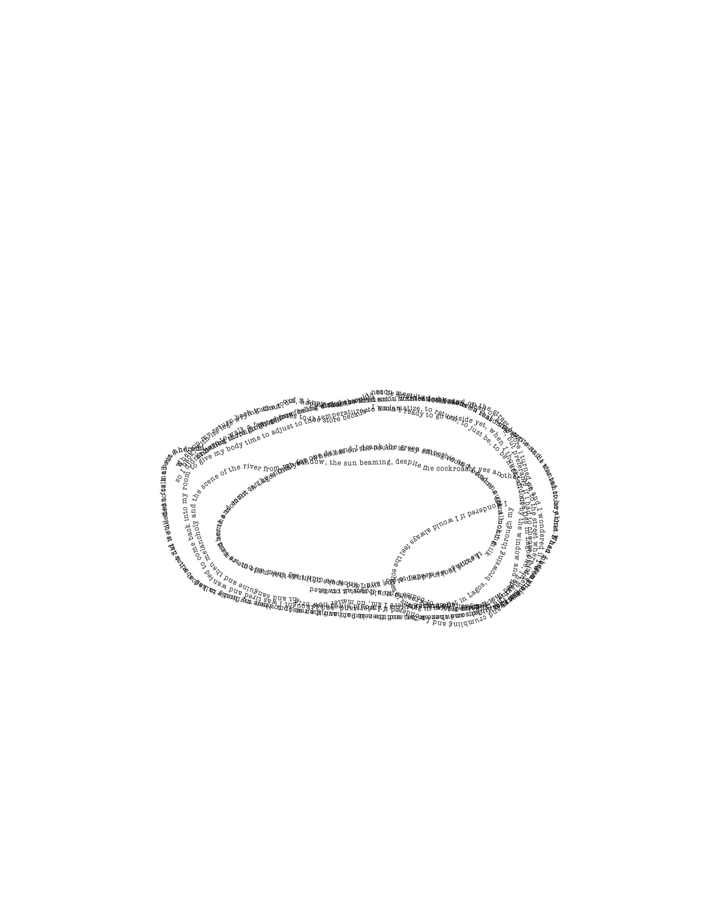
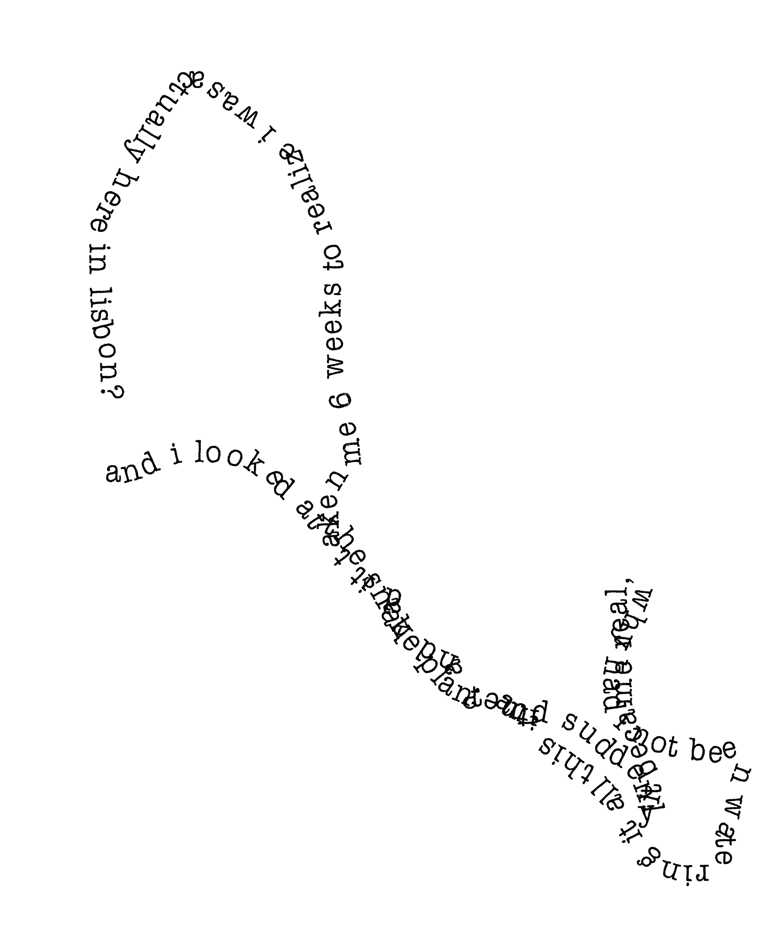
X, the Navigator charts experimental cartographies between Lagos, Nigeria and Lisbon, Portugal. Influenced by indigenous cartographic systems in West Africa which sometimes appear cryptic, Maryam Kazeem invites readers to an alternative navigational map between the two cities. The images underscore secrecy as fundamental to their logic as the work contemplates early Portuguese colonial cartography through the adoption of the persona, “X, the Navigator”, a play on Prince Henry the Navigator, the Portuguese prince who “inspired, financed and organised” the early Portuguese colonial expeditions to Africa. X, the Navigator is interested in the myth of Prince Henry’s persona as navigator - what does navigation entail when it is not linked to violent discovery, when the assumed “visual innocence” of Western traditional cartography is challenged (Katherine McKittrick)?
Prince Henry died in 1460 and in 1472, Portuguese sailor Rui de Sequeira arrived in Lagos, giving it the name, Lago de Curamo, which eventually became “Lagos”.
By centering her body, movement, and thought, X, the Navigator attempts to create an alternative route between Lagos and Lisbon, which explores the radical possibilities of black geographies. X, the Navigator is the first draft of an ongoing series of cartographic experiments.
Felt Weave Cover, 5.5 in. x 8.5 in., 40 pages, edition 20, 2023.
Text and Design by Maryam Kazeem
Published by iranti press
© Maryam Kazeem
For now, we sell our titles at fairs, and will update as our shipping capacity develops. For additional inquiries, please get in touch.